Geospatial Analysis and Training
|
We can perform various geospatial tasks based on existing open-source data. Another option is to collect data with our drone, from which we produce geospatial information. If necessary, we use our GNSS equipment to achieve centimeter-level accuracy.
In addition to forest-related geospatial work, we also carry out municipal infrastructure positioning projects and offer map services and databases for data management. We identify the most suitable data collection, analysis, and publication methods for your information needs. We provide training for our clients in the use of geographic information systems. Our training experience spans over 20 years. Contact us and tell us what kind of geospatial data you need. |
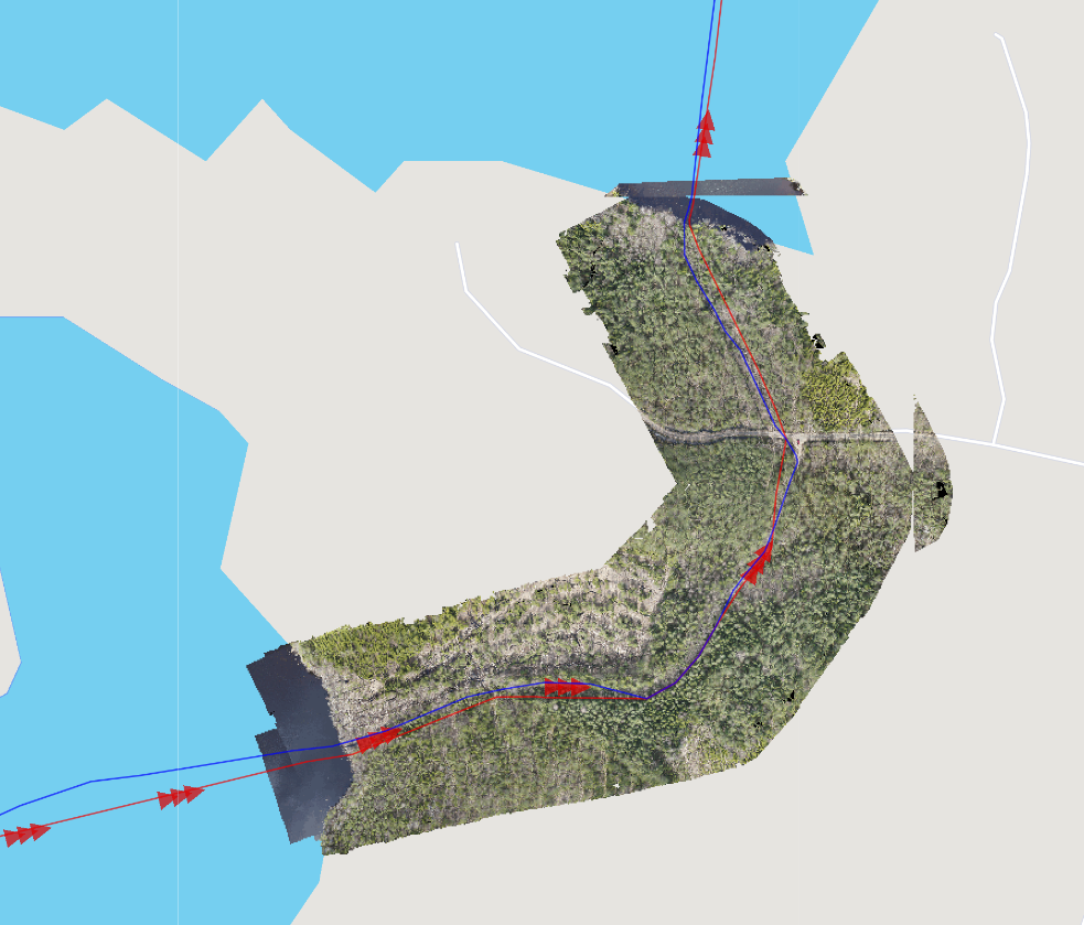
The image shows municipal infrastructure positioned from up-to-date drone imagery.
|