Image Products
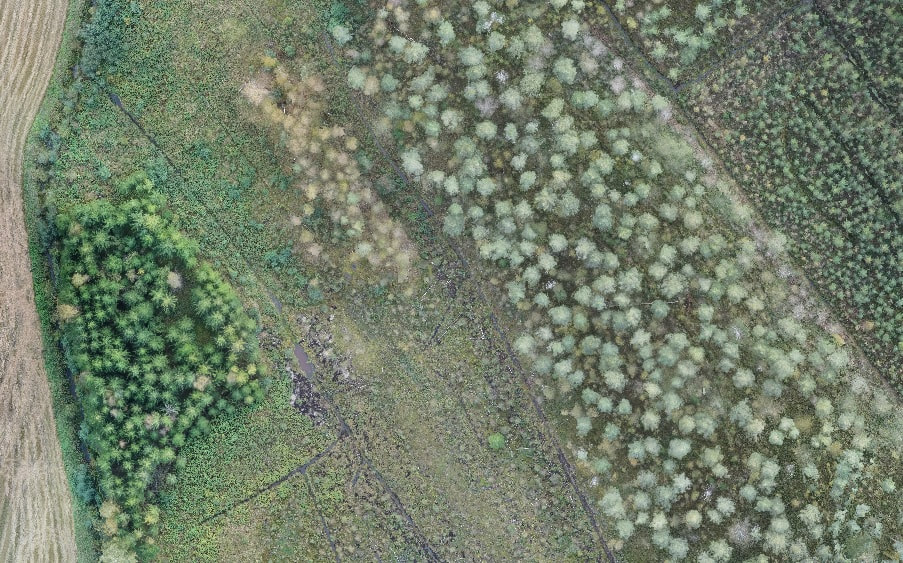
Orthophoto
An orthophoto is a scale-corrected image composed of dozens or hundreds of individual aerial photographs. Orthophotos can be used for two-dimensional planning or tree species classification.
Still Image
We call traditional aerial photographs "still images". Typically, imaging is performed from a height of 50-120 meters, either directly downward or at a 45-degree angle to the ground surface. These images can identify details as small as 2 centimeters. Recording the location of the images enables them to be opened in geospatial software at the desired location.

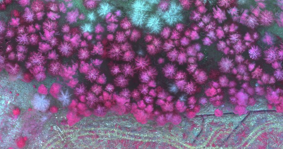
False Color Image
A false color orthophoto is created from images taken with a multispectral camera using selected wavelength ranges. False color orthophotos are often used to visualize vegetation growth variations, as growth decline typically shows up in certain wavelength ranges invisible to the human eye. False color imagery can also be used to improve tree species classification in forest inventory.